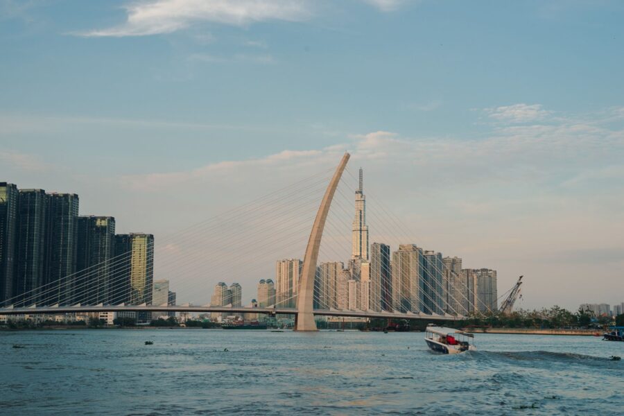
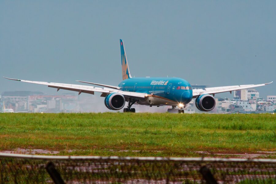
The tag the airline loops around your suitcase handle says SGN. The arrivals board at Tân Sơn Nhất says Ho Chi Minh City, the taxi driver says Sài Gòn, and if he happens to be Khmer he may call it Prey Nokor. Three names, one city, and a fourth, Gia Định, waits on old maps and on the ward signs north of the center.
None of them is a mistake. Each one belongs to a different layer of the place: a Khmer river town, a Vietnamese frontier post, a French colonial capital, a socialist republic’s tribute to its founder. The odd thing is that the most famous of the four, Saigon, is the one nobody can fully explain.

On this page
- Prey Nokor: the Khmer town in the forest
- The first time anyone wrote "Sài Gòn"
- Kapok, firewood or Cantonese: the theories
- When "Saigon" meant Chợ Lớn
- Gia Định, Bến Nghé and the official names
- 1976: Ho Chi Minh City
- Where Sài Gòn is still the official name
- What people actually say
- Reading the names on the ground
Prey Nokor: the Khmer town in the forest
Before any Vietnamese name existed, the Khmer called the settlement on this bend of the river Prey Nokor (ព្រៃនគរ). Prey means forest; nokor comes from the Sanskrit nagara, a city or a kingdom. The usual translation is “forest city”, and Khmer speakers still use Prey Nokor for Ho Chi Minh City today.
It was a port long before it was a capital. Boats came up from the Cần Giờ estuary into the Đồng Nai and Saigon river system, and traders from China, Japan and the Malay world met Khmer merchants here.
The Vietnamese arrived as guests. In 1620 the Nguyễn lord Nguyễn Phúc Nguyên married his daughter Ngọc Vạn to the Khmer king Chey Chettha II, and in 1623 the king allowed Vietnamese customs posts at Prey Nokor and at Kas Krobei, a little downstream. Settlers fleeing the wars between the Trịnh and Nguyễn lords followed, and by the end of the century they far outnumbered the Khmer.
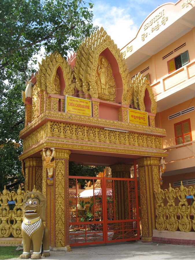

That memory gives the name an edge. Khmer nationalists use Prey Nokor deliberately, as a claim on what Cambodians call Kampuchea Krom, “lower Cambodia”. Vietnamese histories describe the same centuries as the opening of the south.
The first time anyone wrote “Sài Gòn”
The Vietnamese name surfaces in writing in 1674. That year, according to the scholar-official Lê Quý Đôn, a Nguyễn general named Nguyễn Dương Lâm attacked the Khmer and broke through the “Sài Gòn rampart” during a succession war in which the Nguyễn installed their own candidate as Cambodia’s second king. Lê Quý Đôn recorded it around 1776 in the Phủ biên tạp lục, a survey of the southern frontier.
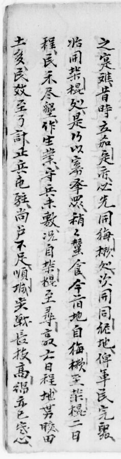
The characters matter because they show how the name was heard. Scribes borrowed Chinese characters for their sound, so 柴棍 records what people said, not what it meant. French missionaries heard something slightly different. A 1747 list of Catholic congregations published later by the historian Adrien Launay includes “Rai-gon thong” and “Rai-gon ha”, Upper and Lower Saigon, with an R.
Kapok, firewood or Cantonese: the theories
Guidebooks give one explanation for Saigon. Vietnamese scholars have argued over at least five for more than a century, and none has won.
The kapok tree (cây gòn)
The most popular reading splits the name into two Vietnamese words. Sài is firewood or brushwood; gòn is the southern word for the kapok tree, whose seed pods burst into the white fluff once used to stuff pillows and mattresses. Huình Tịnh Của’s Đại Nam quấc âm tự vị, the great Vietnamese dictionary printed in Saigon in 1895 and 1896, gives exactly those meanings.
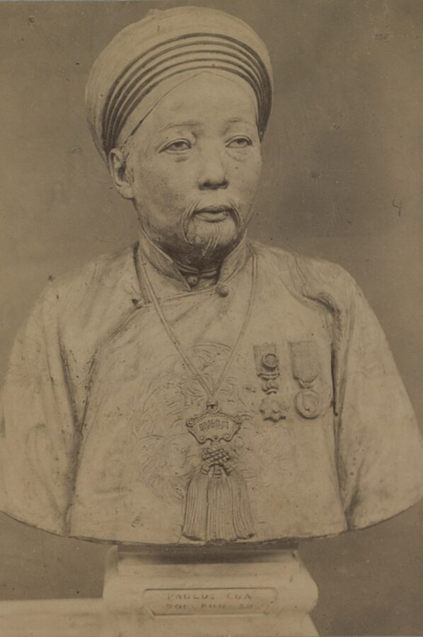
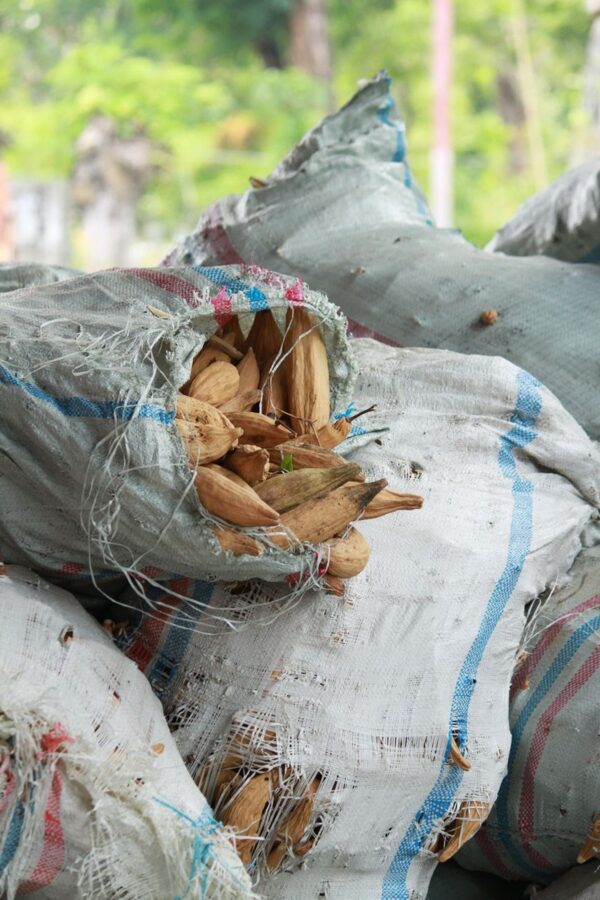
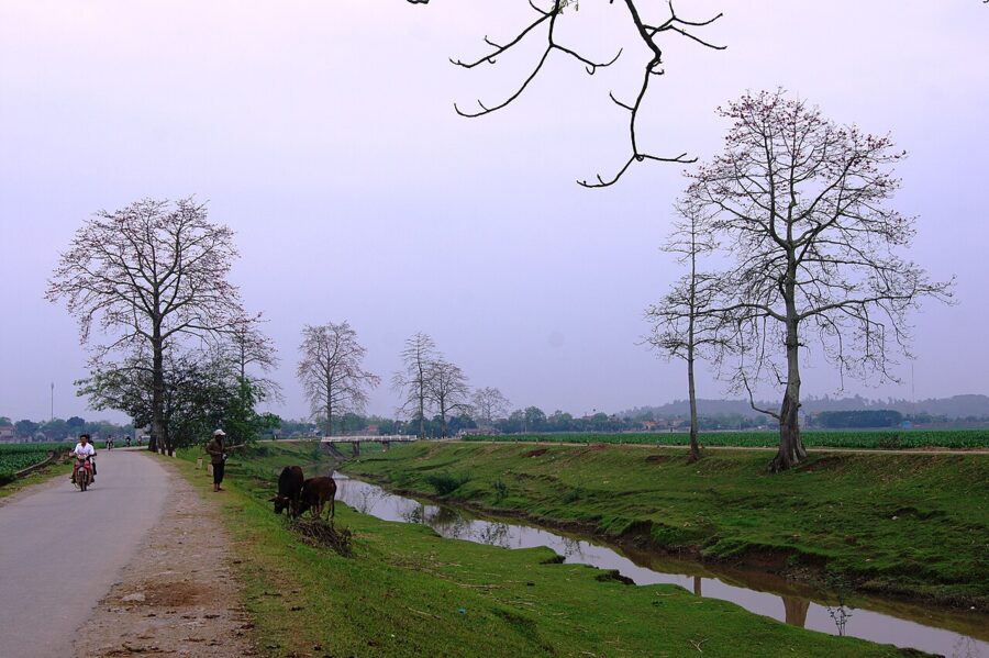
Supporters add a detail from the ground. The Khmer are said to have planted kapok trees around their fortified settlement, and Vietnamese writers place surviving trees near the old Cây Mai pagoda, on a low mound at the edge of Chợ Lớn. A rampart ringed with kapok would explain why the newcomers called it the kapok wall.



Twigs and timber: the forest reading
A second reading keeps the same two words but gives them a wider sense: sài for twigs and brush, gòn for the tall boles of big trees. Put together, they describe dense forest. That lines up neatly with the Khmer prey, forest, and suggests the Vietnamese name and the Khmer one were describing the same thing.
The Khmer sound: Prey Kor and Rài Gòn
Pétrus Trương Vĩnh Ký, the scholar who did more than anyone to bring Vietnamese into the Latin alphabet, took the opposite route. In his 1885 lectures, published as Souvenirs historiques sur Saïgon et ses environs, he traced Saigon to a Khmer name he gave as Prei Kor. In Khmer, kor can mean kapok, so the forest and the tree arrive at the same place by another road.
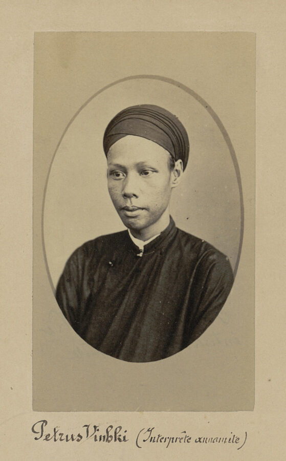
The difficulty is that kor also means cattle. Vương Hồng Sển pointed out that “forest of kapok” and “forest of oxen” are equally possible translations, and the French scholar Étienne Aymonier read Prey Nokor itself as “forest of the kingdom” rather than “forest city”. The linguist writing as Huệ Thiên offered the most careful version of the Khmer theory: settlers first said Rài Gòn, an imitation of the Khmer sound, which then drifted to Sài Gòn under the influence of the written characters. The missionaries’ “Rai-gon” of 1747 fits that sequence.
Tây Cống, Cantonese Sai Gung
In Chinese the city is 西貢, pronounced Tây Cống in Sino-Vietnamese, Sai Gung in Cantonese and Xīgòng in Mandarin. The characters mean “western tribute”, and a folk story builds on that, imagining tribute ships from the west. Scholars on every side reject it. The Chinese name is almost certainly a phonetic rendering of the Vietnamese one, and Vietnamese records never used 西貢 at all; they always wrote 柴棍.
Đề Ngạn: the Chợ Lớn embankment
The last theory comes from the Chinese town. Cantonese merchants called their settlement 堤岸, “embankment”, pronounced roughly Tai Ngon; Vietnamese read the same characters as Đề Ngạn or Đê Ngạn. The French officer Francis Garnier suggested in 1866 that Saigon was simply a Vietnamese ear’s version of Tai Ngon, and Vương Hồng Sển backed him in his 1960 book Sài Gòn năm xưa (Saigon of Old).
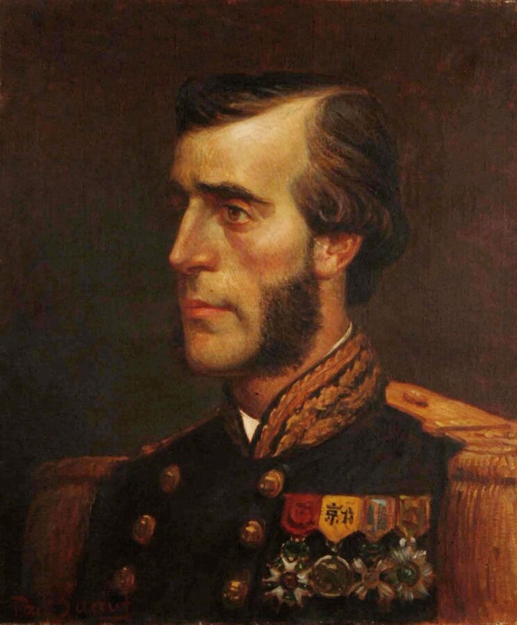
It is a tidy idea with a dating problem. The Vietnamese wrote Sài Gòn in 1674, while the Chinese town called Đề Ngạn took shape a century later, after Tây Sơn rebels destroyed the older Chinese port at Cù Lao Phố near Biên Hòa in 1776 and its survivors moved downriver; Garnier himself dated the settlement to 1778. Most researchers now treat Tai Ngon and Sài Gòn as cousins, possibly both echoing a local name, rather than parent and child.
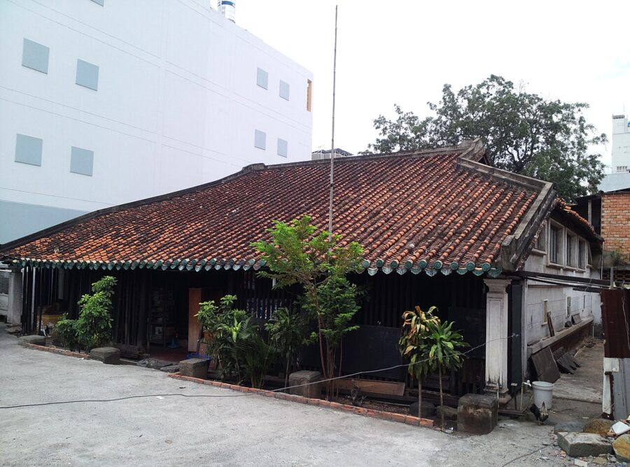

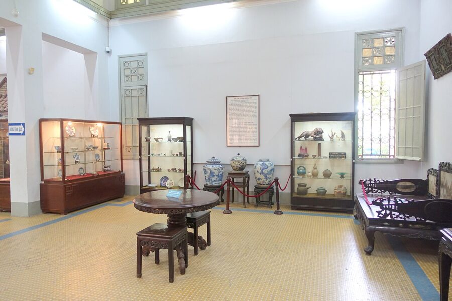
His other legacy is easier to see. The ceramics he collected went to the Museum of Vietnamese History next to the zoo, where a room keeps his name.
So where does that leave the question? The safest statement is the plainest: Sài Gòn is an old Vietnamese rendering of a local, probably Khmer, place name, and the kapok trees and forests may have helped it stick because the words made sense to Vietnamese ears.
When “Saigon” meant Chợ Lớn
The second surprise is where the name used to point. For much of the eighteenth and early nineteenth centuries, Sài Gòn meant the Chinese trading town a few kilometers inland, the place now called Chợ Lớn. The citadel, the officials and the riverside port stood at Bến Nghé, where downtown is today.
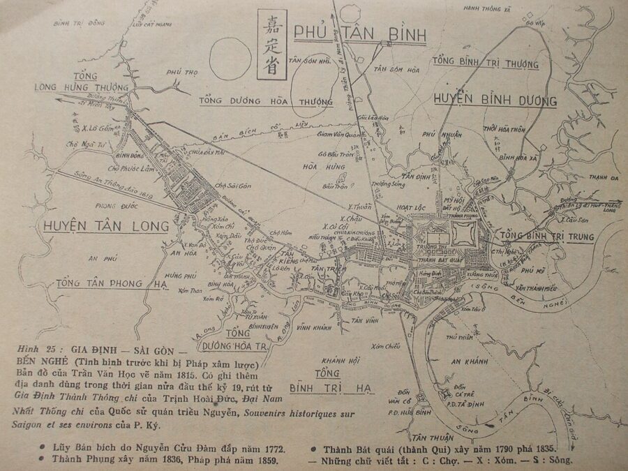
The British envoy John Crawfurd, who came up the river in 1822 with the naturalist George Finlayson, described exactly that pair: a commercial town he spelled “Saigun” and an administrative and military town he called “Bingeh”, Bến Nghé, a short way apart.
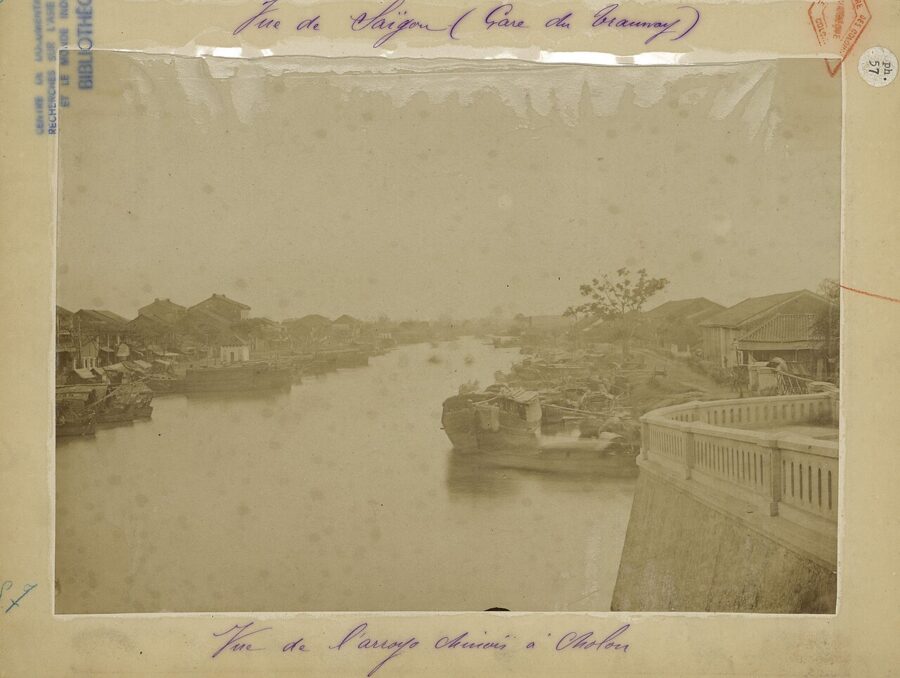
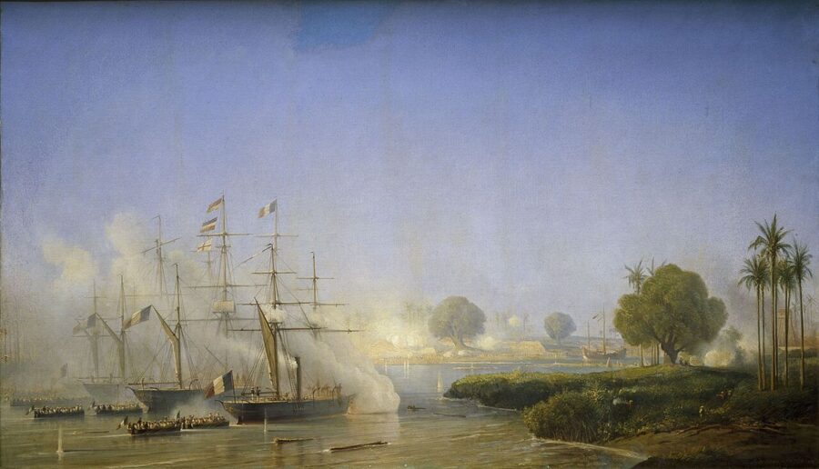
The switch came with the French. After they took the Gia Định citadel in February 1859, they built their new colonial city on the Bến Nghé side and called it Saïgon, perhaps because the trading town’s name was the one foreign merchants already knew. The Chinese town needed a new name, and the Vietnamese one stuck: Chợ Lớn, “big market”. In Chinese it stayed 堤岸.
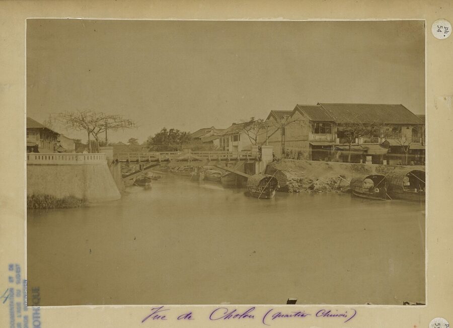
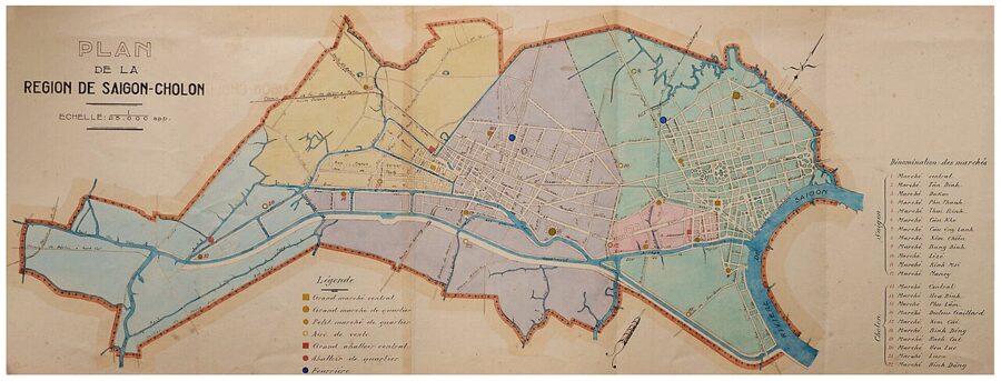
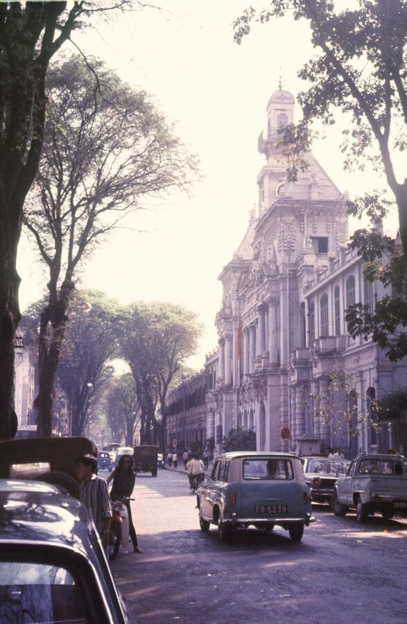
For the next seventy years the colony ran them as two cities. A French plan of 1865 cut the new Saigon down to about three square kilometers between the river, the Bến Nghé creek and the Thị Nghè creek, and Chợ Lớn kept its own municipal government. On 27 April 1931 a decree merged them into the Région de Saigon-Cholon, and the Republic of Vietnam later dropped the second half: from 1956 the capital was officially Đô thành Sài Gòn, the Saigon Prefecture.
Gia Định, Bến Nghé and the official names
While people said Sài Gòn, the state wrote something else. In 1698 the Nguyễn lord sent the general Nguyễn Hữu Cảnh south to organize the new lands, and he created the prefecture of Gia Định, with this area as Tân Bình district inside it. Gia Định then covered far more than the city, reaching into today’s Tây Ninh province and Long An.
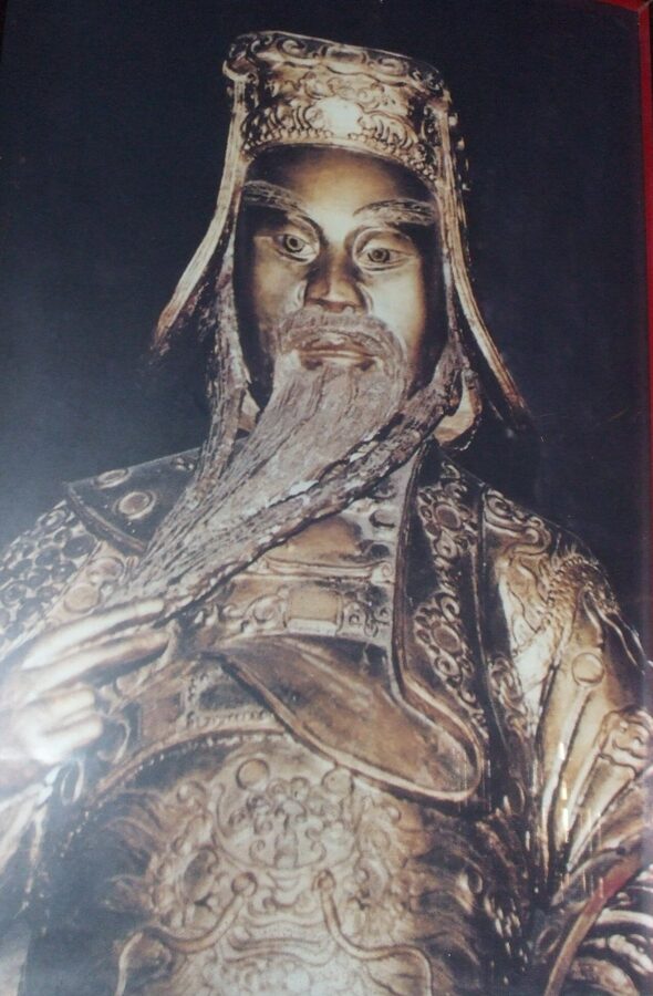

The name means roughly “fine and settled”: 嘉 for good or auspicious, 定 for settled or pacified. No document from 1698 explains the choice, so that reading is the obvious one rather than a proven one. A minority view looks for a Malay root.
The names that followed track the region’s politics. Nguyễn Ánh, the future Emperor Gia Long, made Gia Định his base against the Tây Sơn and in 1790 built an eight-sided citadel here with help from French officers. In 1808 the area became Phiên An garrison under the Gia Định citadel government, which ran the whole south; in 1832 Emperor Minh Mạng made it Phiên An province, renamed Gia Định province later that decade.
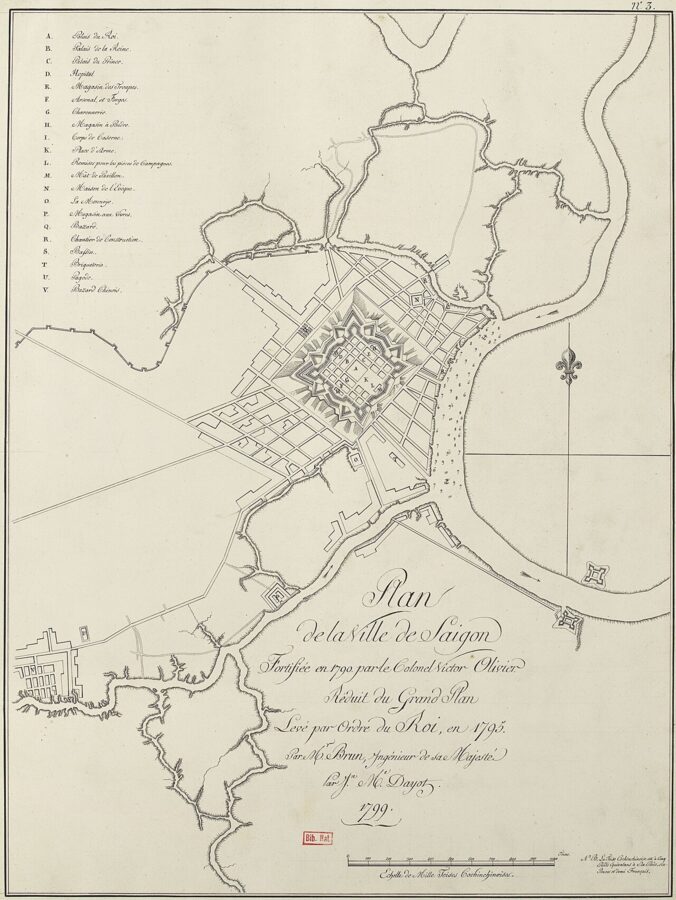
The citadel did not last. After Lê Văn Khôi’s revolt of 1833 to 1835, Minh Mạng had the octagon torn down and a smaller square one, the Phụng citadel, built in 1836. That was the fortress the French navy shelled in February 1859, and its fall ended Gia Định as the city’s official name.
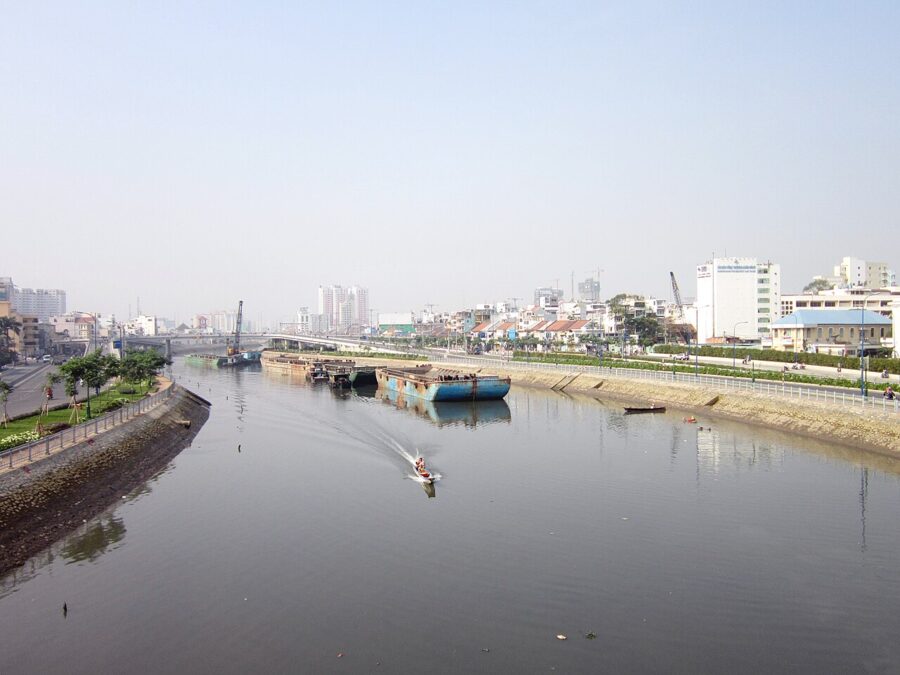
Bến Nghé is older than all of them. It probably translates the Khmer Kompong Krabei, “buffalo landing”: kompong is a landing or wharf, krabei a buffalo, and nghé is a buffalo calf. A rival story says crocodiles in the creek bellowed like calves. Either way, the name belonged to the creek and the riverfront where the city’s officials lived, and the landing that served the citadel gave its name to Bến Thành Market, “citadel landing”.
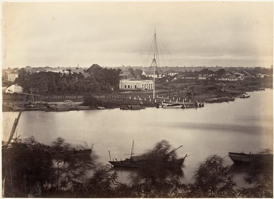

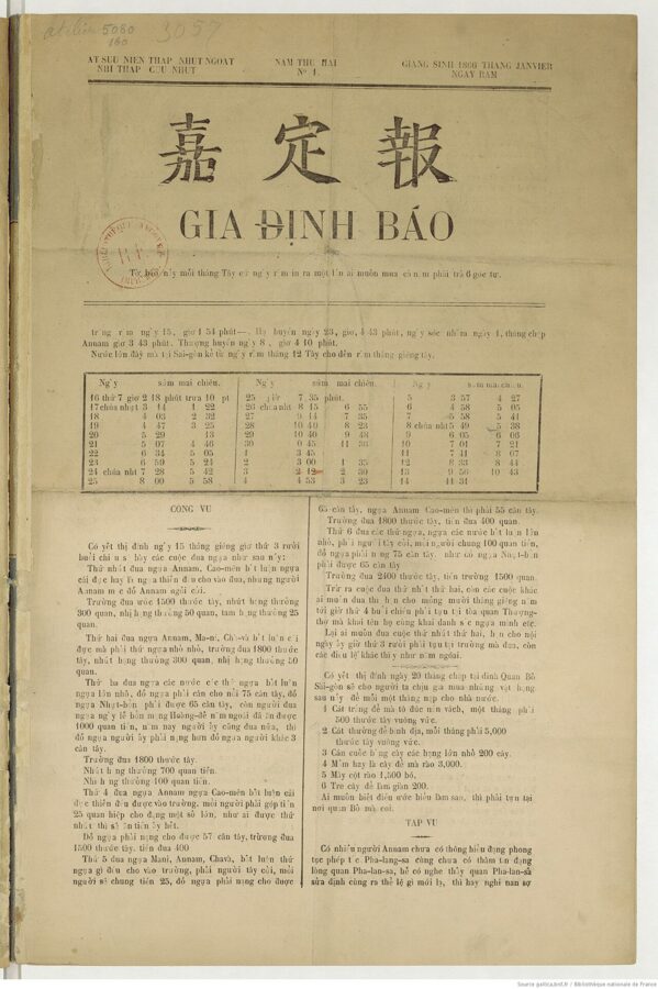
Gia Định survived the French too. It became the province surrounding the colonial city, with its seat at Bà Chiểu, and the first Vietnamese-language newspaper in the Latin alphabet, launched in Saigon in 1865, was called Gia Định Báo.

1976: Ho Chi Minh City
The newest name was proposed long before it was adopted. On 25 August 1946, at a meeting in Hà Nội with southern delegates, the physician Trần Hữu Nghiệp proposed renaming Saigon after Hồ Chí Minh, and two days later the Việt Minh paper Cứu Quốc printed the headline that Saigon “from now on” would be Ho Chi Minh City.

After the war ended on 30 April 1975, the new authorities merged the Saigon Prefecture and Gia Định province into a single city of Saigon–Gia Định. On 2 July 1976 the National Assembly of the reunified country, meeting in its first session, renamed that city Thành phố Hồ Chí Minh. The country’s longer story, from the Nguyễn lords to the boom, belongs to the history of Ho Chi Minh City; the naming is the part that matters here.
The man was born Nguyễn Sinh Cung and wrote for years as Nguyễn Ái Quốc. He took the name Hồ Chí Minh in the early 1940s; chí minh combines “will” and “bright”, and is usually rendered “enlightened will”. He died in 1969, so the city was named for him after his death.
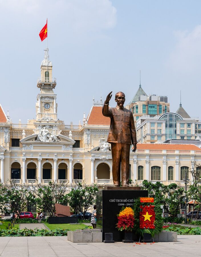

Reactions split along lines that still exist. For the government the name honored the founder of the state that had won the war. For many southerners who left after 1975, and for the communities they built abroad, it was a name imposed by the victors, and they have never used it. Most people who stayed did something simpler: they kept calling the city what they always had.
Where Sài Gòn is still the official name
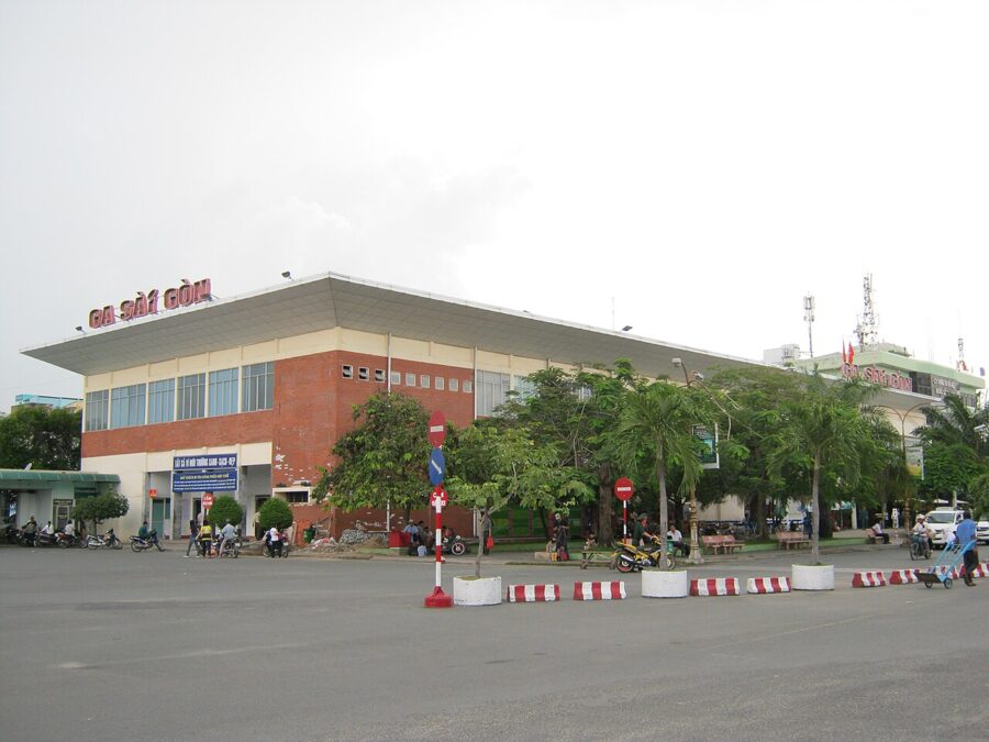
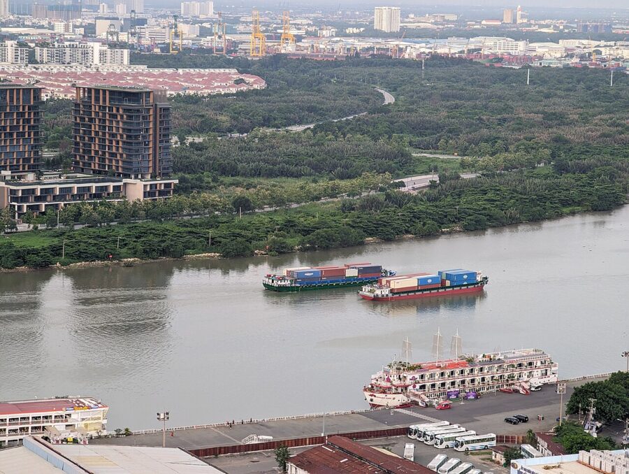
The 1976 decision renamed the city, not the river. The Saigon River, the Port of Saigon, Saigon Railway Station (Ga Sài Gòn), Saigon University and the Saigon Zoo and Botanical Gardens (Thảo Cầm Viên Sài Gòn) all kept their names. So did the newspaper Sài Gòn Giải Phóng, “Liberated Saigon”, the official paper of the city’s Communist Party, and Bia Saigon, the beer on most tables in the south.
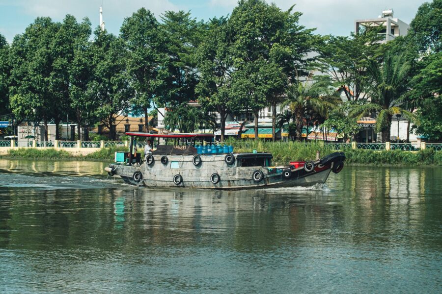
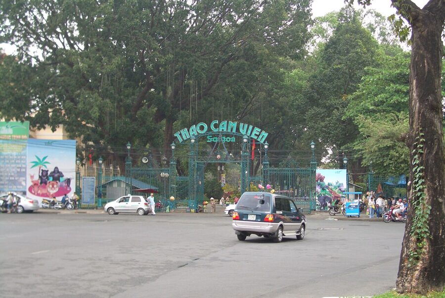


In 2025 the name came back onto the city’s own administrative map. A resolution of the National Assembly Standing Committee dated 16 June 2025 (No. 1685/NQ-UBTVQH15), in force from 1 July, abolished the districts and merged the city’s wards, and created a Sài Gòn ward from all of the former Bến Nghé ward and parts of Đa Kao and Nguyễn Thái Bình wards. It covers about three square kilometers, with about 47,000 residents at the end of 2024.
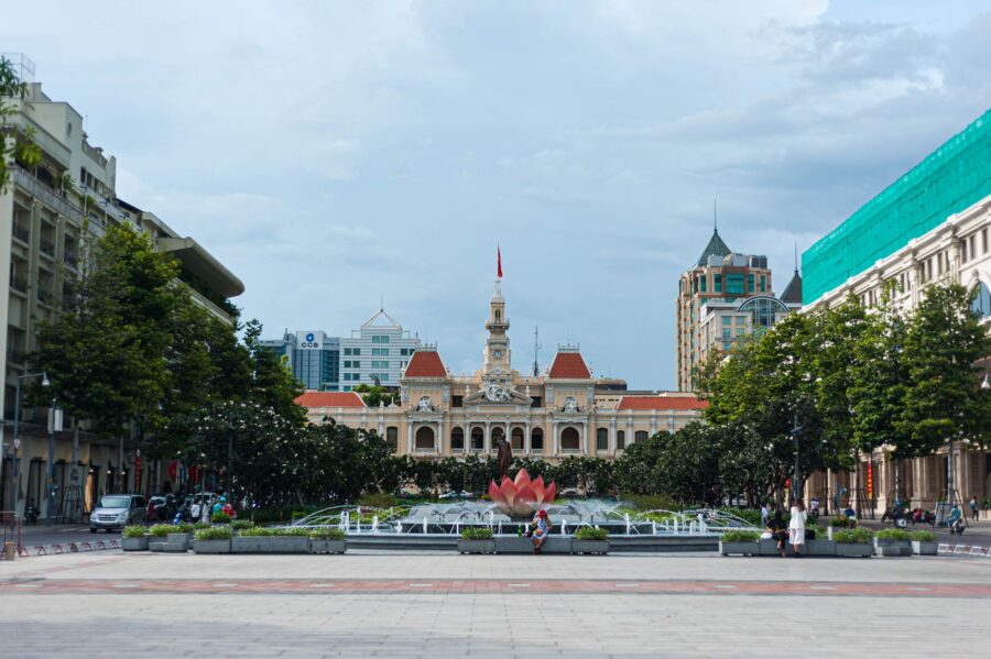
Sài Gòn ward is the old downtown: City Hall, Nguyễn Huệ, Đồng Khởi, the riverfront at Bạch Đằng and the zoo. The Notre-Dame Cathedral and the Municipal Theater now carry Sài Gòn ward addresses, while Bến Thành Market, across Nam Kỳ Khởi Nghĩa, sits in the neighboring Bến Thành ward. Residents and many signs still say “District 1”, and nobody will mind if you do too.
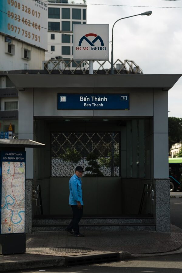
The same reorganization revived Gia Định and Chợ Lớn as ward names, so three of the four historic names now sit on the official map at once. The only one missing is the Khmer original.
What people actually say
In speech, southerners mostly say Sài Gòn. From the Mekong Delta people go “up” to it, lên Sài Gòn, or simply lên thành phố, “up to the city”, as if there were no other. Northerners going south say vào Sài Gòn, “in to Saigon”. Some older residents use Sài Gòn only for the downtown core, the old French city, and Ho Chi Minh City for the whole sprawling municipality.
In writing the balance flips. Government documents, addresses, bank forms, road signs and most news reports use Thành phố Hồ Chí Minh, abbreviated TP.HCM or TPHCM in Vietnamese and HCMC in English. Your visa, your flight booking and your hotel’s address will say Ho Chi Minh City, and you should write it that way on forms.
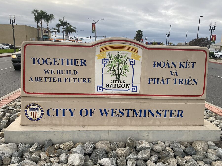

Either name is polite. Vietnamese people use both every day, and a visitor saying Saigon in a café or Ho Chi Minh City at a ticket counter will not raise an eyebrow. The only thing that can go wrong is turning the choice into an argument: correcting a local who says Sài Gòn, or lecturing an overseas Vietnamese family about the official name, reads as a political statement you probably did not intend to make.
Khmer speakers have their own usage. Many still say Prey Nokor, and some Cambodians feel strongly about it; in Phnom Penh you will hear it in ordinary conversation.
Reading the names on the ground
You can see most of this in a morning. Start at the fountain on Nguyễn Huệ, in Sài Gòn ward, with City Hall at one end and the river at the other. Walk down to Bạch Đằng, where the Saigon River turns, then along Tôn Đức Thắng to the Khánh Hội bridge for the Bến Nghé canal and the line where the old riverfront city ended.

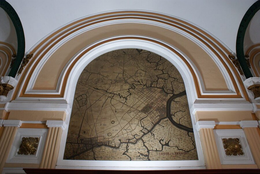
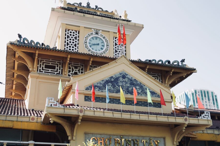
Step into the Central Post Office to find the painted map of old Saigon, then walk ten minutes to Bến Thành station on Metro Line 1 to see the citadel landing’s name on a station wall. Chợ Lớn is a Grab ride west, usually 20 to 30 minutes depending on traffic; ask for Chợ Bình Tây and walk the shophouse streets around it, where the first Saigon stood.
Then look at your luggage tag again before you fly out. SGN, three letters on a strip of paper, is the oldest name on any document you carry, older than the airport, the republic or the French city. Nobody agrees what it means, and it has outlasted every attempt to replace it.