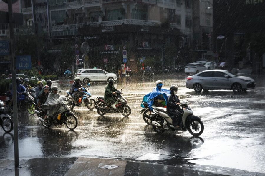
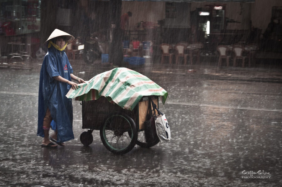
At three in the afternoon in late August, the sky over Lê Lợi Street can go from white to slate in ten minutes. Riders pull in under shop awnings, dig ponchos out from under their seats and drag them on over their helmets. Then the rain arrives all at once, hard enough to bounce off the asphalt, and for half an hour the street is a shallow river with traffic in it. By five the sun is back, the road is steaming and the only trace of the storm is the smell of wet dust.
Most of Saigon’s weather works like that. It is hot all year, it never gets cold, and the thing that shapes your day is not the month so much as the hour. From December to April the sky stays dry and the sun is relentless; from May to November the mornings are usually fine and the storms come in the afternoon.


Saigon is also only one of Vietnam’s climates. When it is 32°C and dry in the south in January, Hanoi is grey and 16°C, and the central coast is drying out from three months of flood rain. A trip that runs the length of the country has to fit all three, and the month that suits one region can wreck another.
On this page
Two seasons, and a storm on a timetable
Saigon sits about 10 degrees north of the equator, and its temperature hardly moves. The long-term average high at Tân Sơn Nhất airport ranges from 30.8°C (87°F) in December to 34.6°C (94°F) in April. The average low never falls much below 21°C (70°F). What changes is the wind and the rain.
From December to April the northeast monsoon blows in dry air from the South China Sea and the city goes weeks without a drop. In late April or May the wind swings round to the southwest, off the Indian Ocean, and the rainy season (mùa mưa) begins. It lasts until late November, and about 90 percent of the year’s rain falls inside it.
The afternoon storm
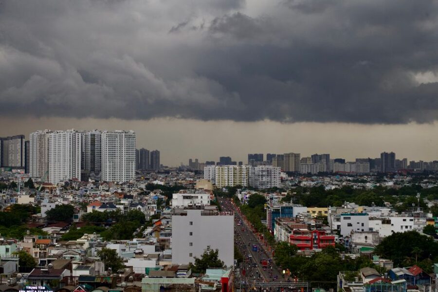
Wet-season rain in Saigon is rarely an all-day drizzle. Heat builds through the morning, clouds tower up by early afternoon, and the storm breaks somewhere between about 2pm and 7pm, often with thunder and gusts strong enough to bring down branches.
Most storms are over in an hour. Some are not: between 1 September and 6 October 2026 the city station at Tân Sơn Hòa logged 680.5 mm, the wettest such stretch since 1980, after a June to August that had run about 40 percent drier than normal. Any one year can wander a long way from the averages.

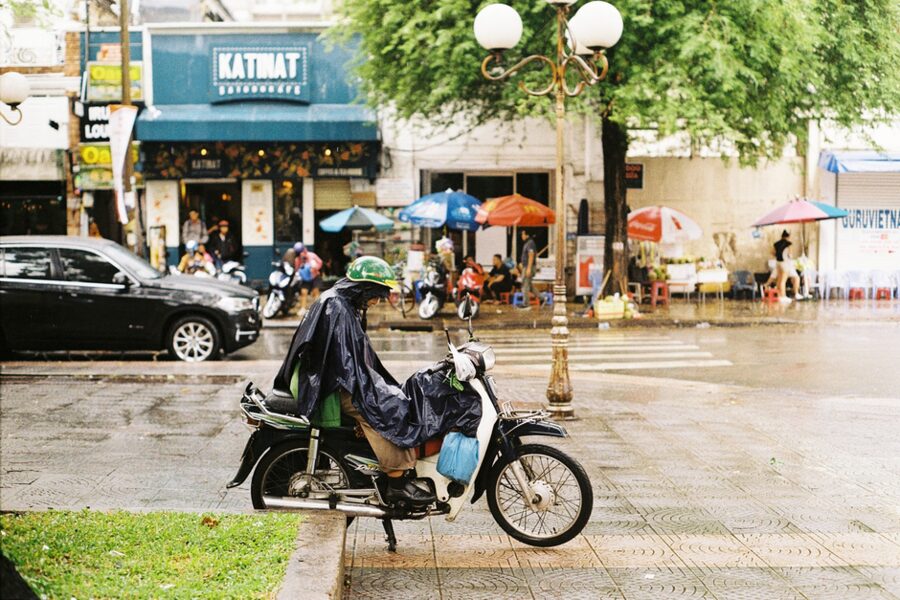
Do outdoor sightseeing in the morning, plan an indoor stop or a long lunch for mid-afternoon, and treat the evening as a bonus. If the sky turns at 3pm, order another iced coffee and wait it out.

Heat, and why May feels worse than April
April is the hottest month on the thermometer, with an average high of 34.6°C and the city’s record of 40.0°C. But April air is still fairly dry, with afternoon humidity around 46 percent. In May the rains arrive and the humidity climbs while the highs barely drop, and by the standard heat-index formula an average May afternoon feels like about 39°C (102°F), worse than April’s 38°C.
On a sunny street in the old center, between concrete and idling engines, it feels hotter still. Walk to the Reunification Hall and back at 1pm in April and heat exhaustion is a real risk: carry water, take the midday hours indoors, and know where the hospitals in Ho Chi Minh City are if anyone turns faint and confused.
The only cool weather comes in December and January, when a push of northern air can drop the dawn temperature into the teens. On 28 November 2025 the city woke to 19°C, and people rode to work in jackets and gloves. The record low at Tân Sơn Nhất is 13.8°C, set in January. By noon on those days it is back above 30°C.
Saigon month by month
| Month | Avg high | Avg low | Rain (mm) | Rain days | Sun (hours) |
|---|---|---|---|---|---|
| January | 31.6°C (89°F) | 21.1°C (70°F) | 12 | 2 | 245 |
| February | 32.9°C (91°F) | 22.5°C (72°F) | 4 | 1 | 246 |
| March | 33.9°C (93°F) | 24.4°C (76°F) | 13 | 2 | 272 |
| April | 34.6°C (94°F) | 25.8°C (78°F) | 51 | 5 | 239 |
| May | 34.0°C (93°F) | 25.2°C (77°F) | 207 | 18 | 195 |
| June | 32.4°C (90°F) | 24.6°C (76°F) | 294 | 22 | 171 |
| July | 32.0°C (90°F) | 24.3°C (76°F) | 307 | 23 | 180 |
| August | 31.8°C (89°F) | 24.3°C (76°F) | 281 | 22 | 172 |
| September | 31.3°C (88°F) | 24.4°C (76°F) | 305 | 23 | 162 |
| October | 31.2°C (88°F) | 23.9°C (75°F) | 291 | 21 | 182 |
| November | 31.0°C (88°F) | 22.8°C (73°F) | 135 | 12 | 200 |
| December | 30.8°C (87°F) | 21.4°C (71°F) | 28 | 7 | 223 |
| Year | 32.3°C (90°F) | 23.7°C (75°F) | 1,926 | 159 | 2,489 |
December to February is the best stretch for most visitors: dry, sunny, the least humid and the coolest nights. It is also high season, with Tết in the middle. February is the driest month of the year, with 4 mm of rain.
March and April stay dry but heat up steadily. March has the most sunshine of the year, 272 hours. By April the afternoons are punishing, the first thunderstorms start to rumble, and anyone who can leaves for the beach or the hills.
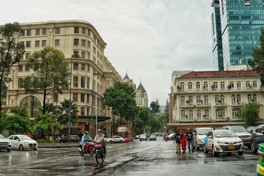
May and June bring the rains in. Showers are short and the heat is still high, so the humidity is at its most oppressive. Prices drop and crowds thin.
July to October is the heart of the wet season, with rain on two days out of three. It is a workable time to visit if you keep afternoons flexible. September and October are the wettest and the most likely to bring street flooding.
November is the changeover. The rains taper off through the month, the first dry northerly air arrives toward the end, and it is the season of the year’s highest tides, which is a separate problem.

When the street fills with water
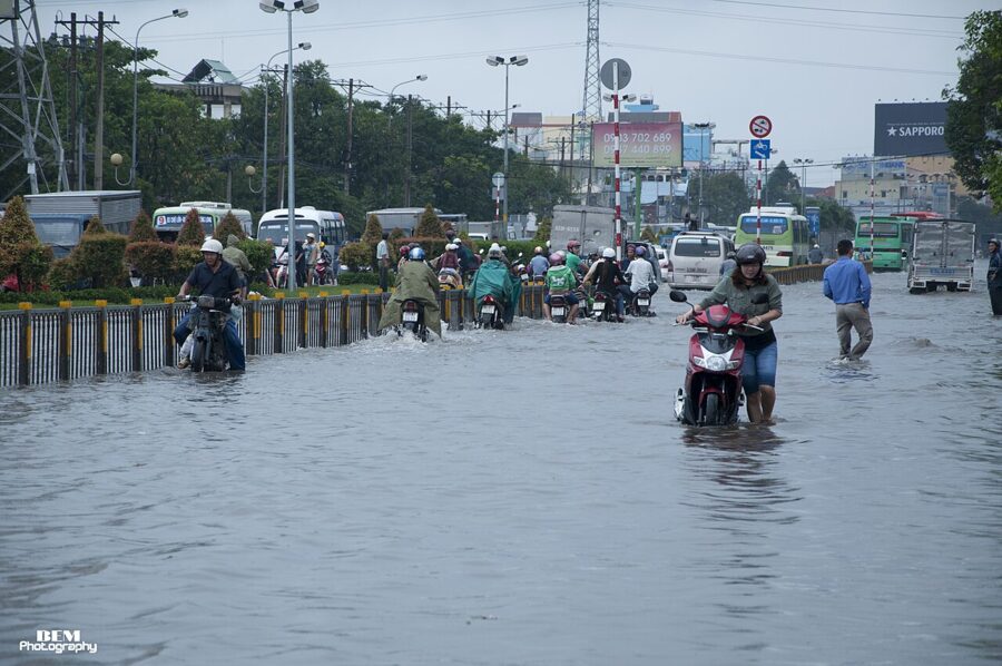
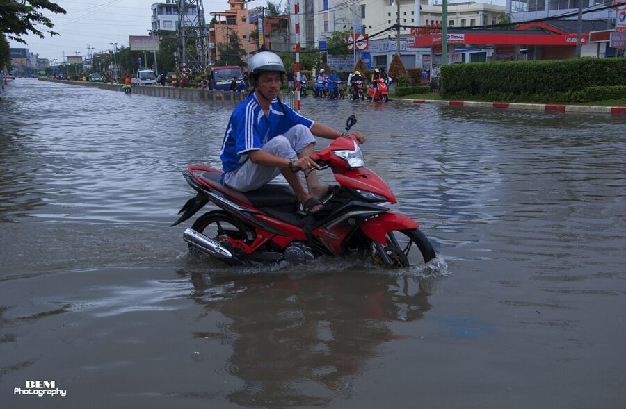
Saigon floods in two different ways, and they have different seasons. Rain floods happen when a heavy storm dumps more water than old drains can carry; they come in the wet season, mostly from June to October, and drain within hours. Tide floods, triều cường, happen when the Saigon River and its canals rise on the year’s highest tides and push back up through the drains onto low streets, sometimes on a dry, sunny day.

A storm of 30 to 50 mm, falling on a tide above a meter, is enough to put Bạch Đằng, Ung Văn Khiêm and Đinh Bộ Lĩnh in Bình Thạnh under water. In June 2026 the city’s construction department listed the streets most prone to rain flooding, among them Ung Văn Khiêm, Phạm Văn Chiêu and Phan Huy Ích in the former Gò Vấp, and the Võ Văn Kiệt and Hồ Học Lãm junction in An Lạc. After the record September 2026 rain, Xô Viết Nghệ Tĩnh and Tân Cảng joined them on the worst-hit list.
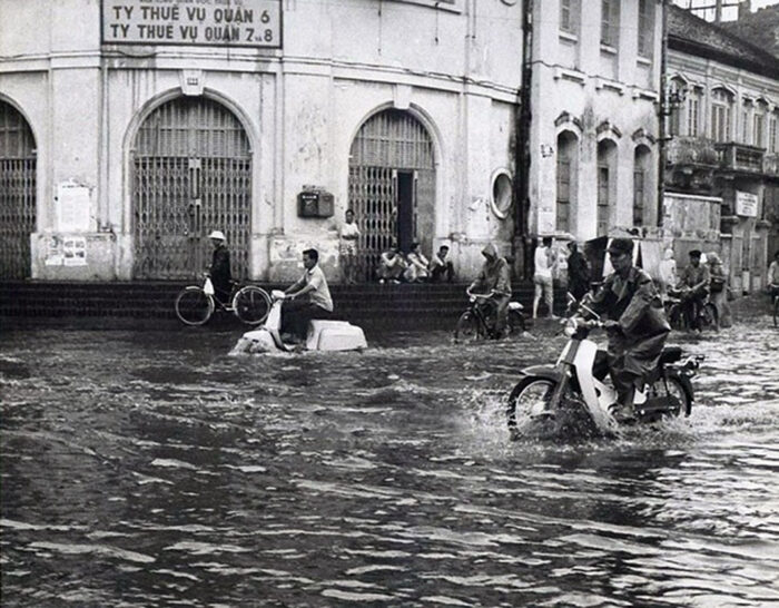
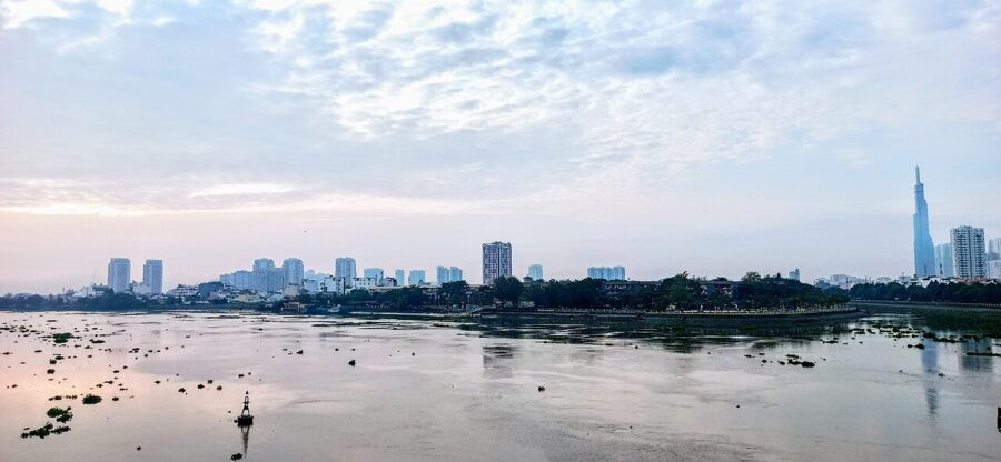

The tide floods follow the moon. The highest tides of the year come in the ninth and tenth lunar months, roughly October and November, and spill into December, with peaks a few days after each full and new moon. They crest twice a day, and lately the highest have fallen in the morning and evening rush hours, roughly 6am to 8am and 5pm to 7pm.
Water starts reaching the street once the gauge at Phú An, on the Saigon River, passes alarm level 1 at 1.4 m. On 6 November 2025 it reached 1.77 m (Tuổi Trẻ reported 1.78 m), level with or a centimeter over the record set in 2019, and the city counted 75 days above level 1 that year. The worst-hit streets lie along the rivers and canals south and east of the center: Trần Xuân Soạn, Huỳnh Tấn Phát and Phạm Hữu Lầu in the former District 7, Đào Sư Tích and Nguyễn Bình in Nhà Bè, Nguyễn Văn Hưởng in An Khánh ward (the old Thảo Điền), Bình Quới around Thanh Đa, and Bến Bình Đông along the canal in the former District 8.

For 2026, forecasters put the year’s peak at 1.70 to 1.75 m from 26 to 28 October, with more high tides due on 25 to 27 November and twice in December. A tide-control scheme on the right bank of the Saigon River, budgeted at nearly 10,000 billion dong (about US$380 million) and under construction for a decade, was scheduled to start operating in November 2026. Until it has a full tide season behind it, plan as though the old pattern holds.
Central District 1 rarely floods badly on tides, though Calmette Street made the city’s list in November 2025. Most visitors meet floodwater in a Grab car stuck in traffic, not on foot. If you do have to cross water, walk slowly and keep to the middle of the road: open drains and missing manhole covers hide under it, and the water is mostly sewer.

Haze, the price of the dry months
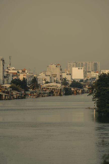
The dry season’s clear skies come with worse air. Rain scrubs dust and exhaust out of the air for half the year; from December to March there is none, the winds are light, and on still mornings a lid of haze sits over the city. On the morning of 25 December 2025 it was thick enough to hide part of Landmark 81 at 8am, which was put down to cool northern air meeting humid air with almost no wind.
The city’s own monitoring found fine-particle (PM2.5) pollution in 2025 above national limits by 1.1 to 4.6 times at traffic and industrial hotspots, worse than 2024, when levels stayed within limits. In January 2026 Saigon briefly ranked among the world’s ten most polluted cities on the IQAir index, and the weeks before Tết tend to be the worst as traffic and construction peak. The overall picture is less alarming: most days still rated good or moderate.
For a short stay this is a nuisance, not a reason to change dates. Check an air-quality app before a long walk, wear a fitted mask on smoggy mornings if you have asthma or a heart condition, and save the rooftop views for the afternoon. The cleanest air of the year comes in the wet months, right after a storm.
Tết and the weather around it
The Lunar New Year falls in the best weather Saigon has, and it changes the city more than any storm. In 2027 the first day of Tết is Saturday 6 February; government offices close from 4 to 10 February, and many businesses close longer. In 2028 it falls on 26 January.
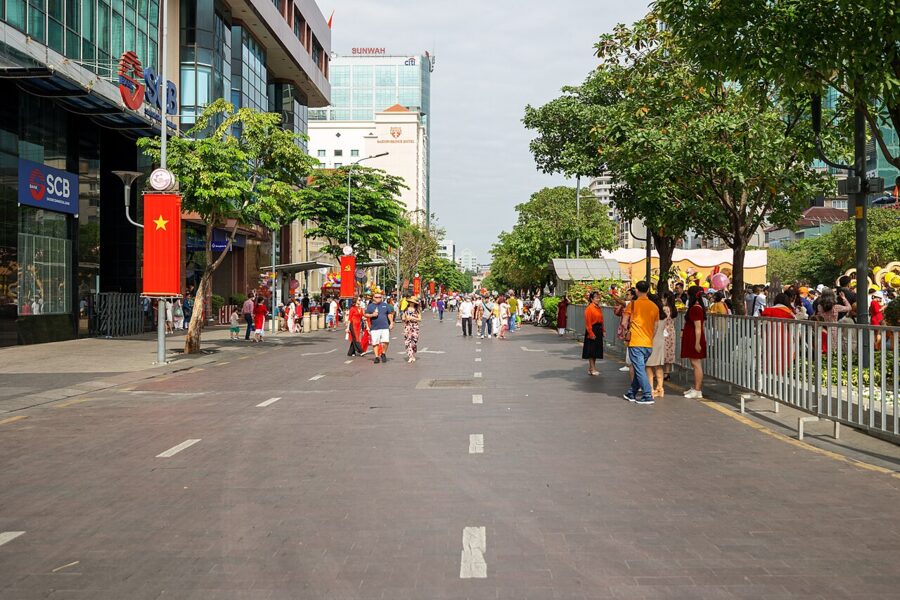

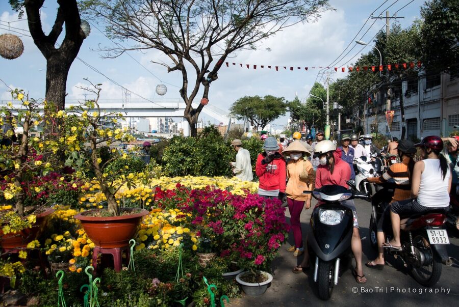
In the week before Tết the city is at its busiest, with flower markets on every open space and roads jammed with people shopping and heading home. Then millions of migrants go home to the provinces, and for the first three days of the new year the streets are emptier than at any other time. Many family-run restaurants and street stalls close, some for a week; the restaurants in Ho Chi Minh City that stay open are mostly hotels, chains and places in the tourist center.

Transport is the real squeeze. Trains, buses and domestic flights fill up weeks ahead for the days around the holiday, and fares rise; if you are getting to Ho Chi Minh City or leaving it around Tết, book early. Hanoi at the same moment is usually grey, damp and around 17°C, so a Tết trip that covers both ends of the country needs a jacket in the bag.
Vietnam’s three climates
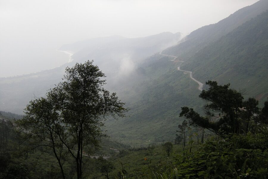
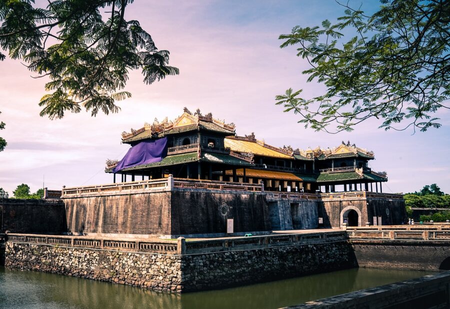
Vietnam stretches about 1,650 km from north to south, and the mountains that reach the sea at the Hải Vân Pass, between Huế and Đà Nẵng, split it roughly in two. North of them there is a real winter. South of them it is tropical all year, but the central coast and the far south get their rain at different times.

The north: a real winter, and drizzle
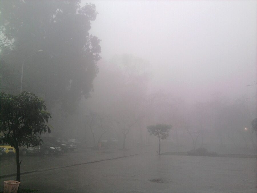
Hanoi has four seasons, more or less. In January its average temperature is 16.4°C (62°F) and nights drop to around 14°C, and in unheated rooms with tiled floors that feels colder than it sounds. The record low is 2.7°C. February and March bring mưa phùn, a fine, persistent drizzle, on seven to ten days a month, and just 47 hours of sunshine in each, against roughly 250 in Saigon.
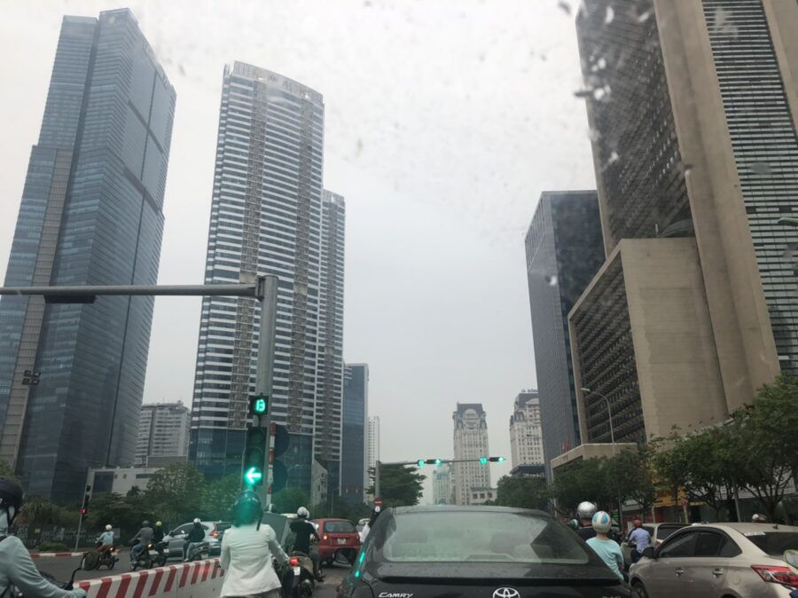


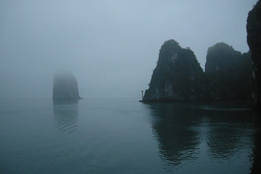
Summer in the north is the opposite: from May to September Hanoi is as hot as Saigon, with July highs around 33°C and more than 250 mm of rain a month from June to August. Storms hit the northern coast in July and August, and Hạ Long Bay cruises are suspended when one approaches. October and November are the sweet spot.

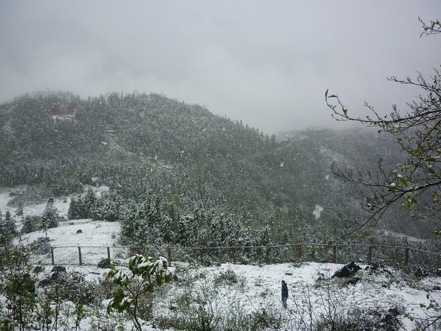
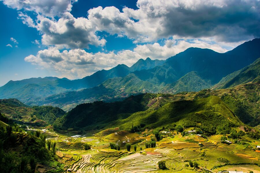
Sa Pa, in the mountains near the Chinese border, is colder again: its January average is 8.7°C and it has fallen to −3.5°C. With 2,836 mm of rain a year, its trekking seasons are March to May and September to November, when the terraces turn gold before the harvest.
The central coast: autumn is the wet season
Central Vietnam gets its rain late. From February to August, Huế, Đà Nẵng and Hội An are mostly dry and hot, with Huế’s June and July highs near 35°C. Then from September to December the northeast monsoon piles moisture against the Trường Sơn mountains, and Huế takes 757 mm in October and 621 mm in November. Đà Nẵng gets 650 mm in October alone.
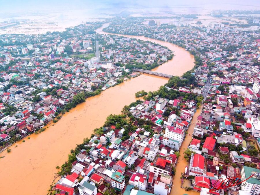

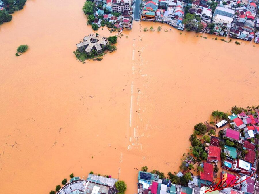
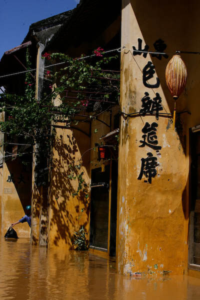
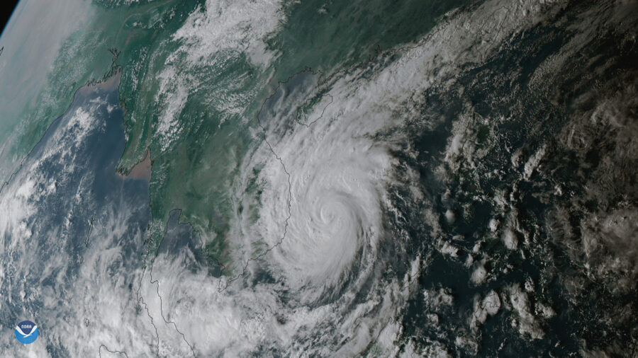
This is also the coast’s typhoon season, from September to November. In late October 2025 the Bạch Mã station above Huế recorded more than 1,600 mm in 24 hours, a national record, the Perfume River at Kim Long rose to 5.05 m, and Hội An’s old town became a lake. Typhoon Kalmaegi came ashore farther south in early November.


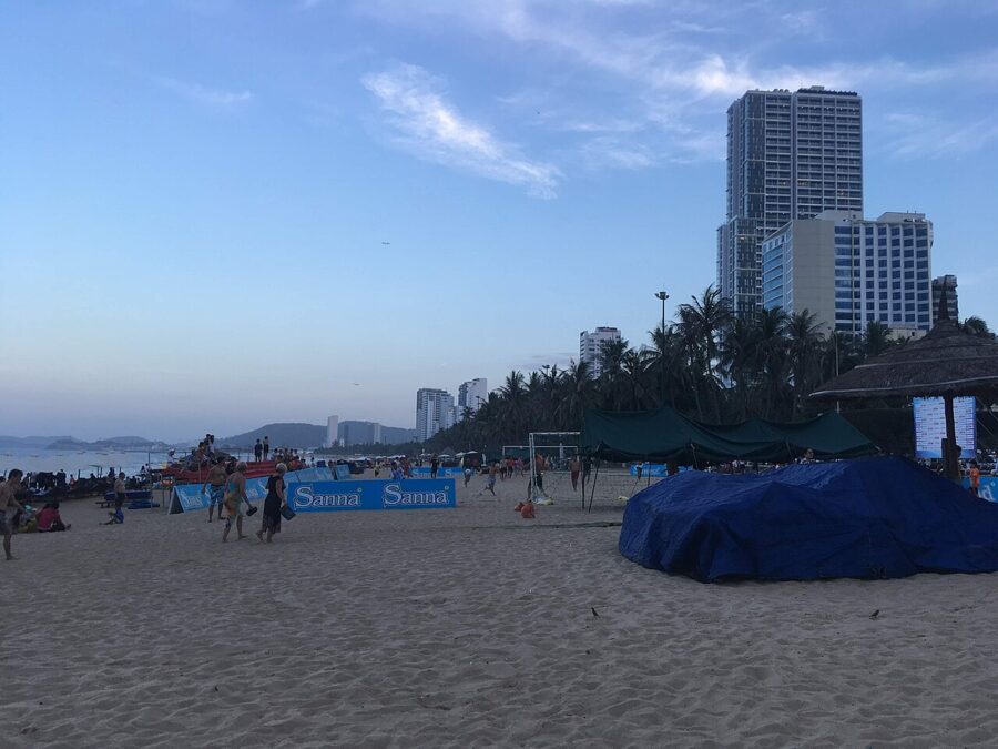
Nha Trang, farther south, follows the same pattern more gently, with 302 mm in October and 332 mm in November. For a central-coast beach, go between March and August.

The south and the islands
The rest of the south runs on Saigon’s calendar, with local twists. Phú Quốc faces the southwest monsoon head-on and is the wettest of them, 3,029 mm a year and 546 mm in August, but almost dry from December to March. Phan Thiết and Mũi Né are the driest place in the region, with 1,072 mm a year, and the steady northeast wind from November to March makes them a kitesurfing base. Đà Lạt, at about 1,500 m in the Central Highlands, averages 18°C all year and has a rainy season like Saigon’s.





Which month suits which route
- December to February: the classic whole-country trip. Saigon and the delta are dry, the central coast is drying out, and Hanoi is cool and grey. Pack a jacket for the north and expect Tết closures.
- March and April: the best single window for the full length. The north warms up, the center is dry and pleasant, and the south is very hot.
- May to August: go for the central coast’s beaches, with Saigon in the mornings. The north is hot and stormy.
- September to November: good for the north and fine for the south with flexible afternoons. Skip the central coast or keep plans loose, since storms and floods can cut roads and rail lines for days.
Day trips when the weather turns
Most day trips from Saigon are early starts anyway, which suits the wet season well. Leave at 7am and you are back before the storm.
At the Cu Chi Tunnels the dry season is the comfortable time. After rain the red clay in the tunnels turns slick and stains everything it touches, and the forest above them fills with mosquitoes. In the wet months plan on a morning visit and wear clothes you can write off.


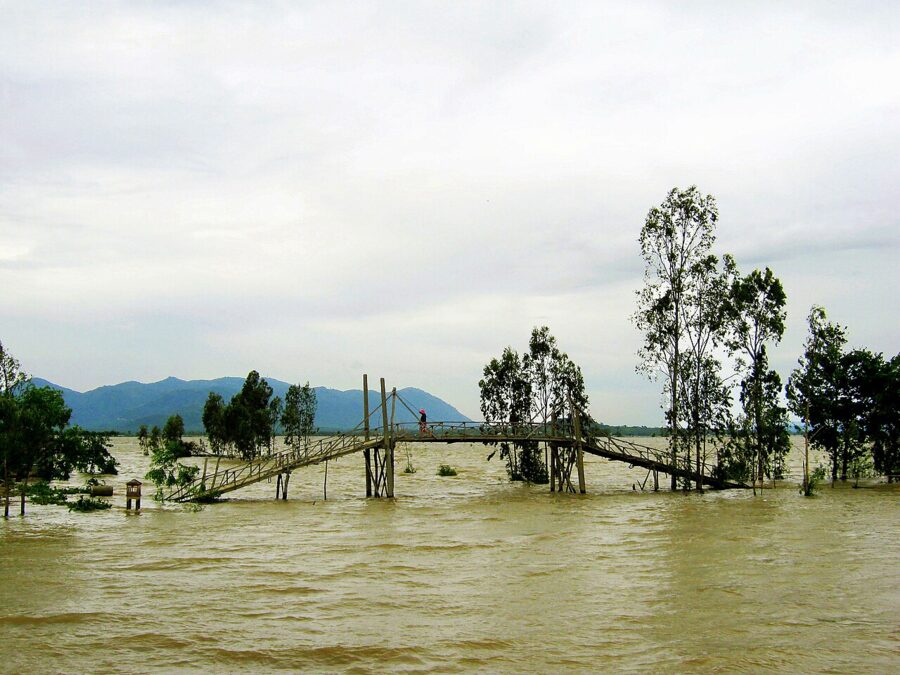
In the Mekong Delta the seasons change the ground itself. From about August to November the river rises in the flood season, mùa nước nổi, which peaks around October in An Giang. Fields turn into lakes and the cajuput forest at Trà Sư can be explored by boat. In Cần Thơ the autumn tides now flood the riverfront: on 29 September 2026 the Hậu River reached 2.23 m and streets near Ninh Kiều wharf stood in 30 to 70 cm of water.


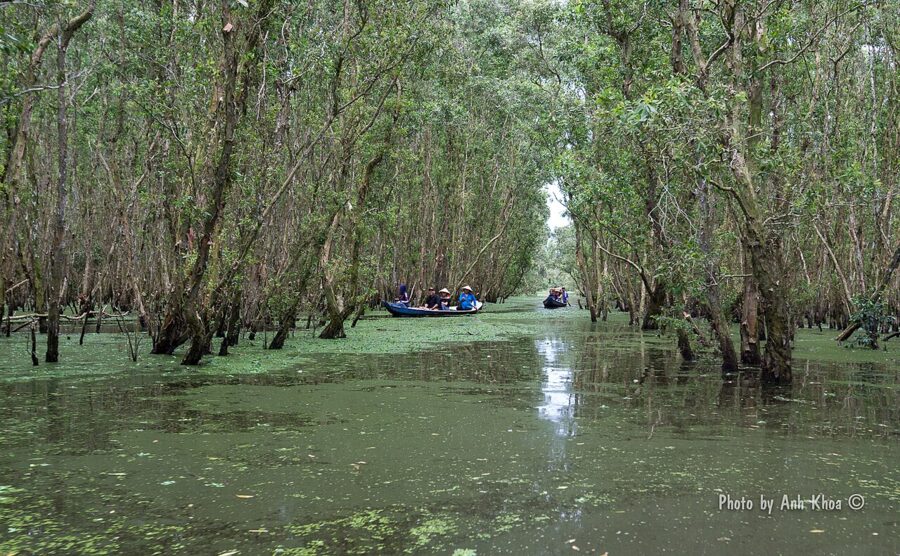

Farther upriver, the flood season is the reason some travelers visit An Giang at all: stilt houses and drowned rice fields are at their most striking in September and October. In the dry months the opposite problem reaches the coastal provinces, as salt water creeps up the river mouths, worst in El Niño years.



Northwest of the city, Tây Ninh is stormier than Saigon, with about 104 thunderstorm days a year against the city’s 68 and 353 mm of rain in September. A morning drive gets you to the midday service at the Cao Đài Holy See and on the road home before the afternoon storms build.
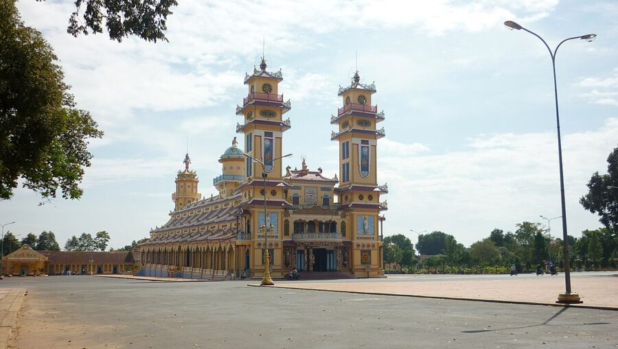

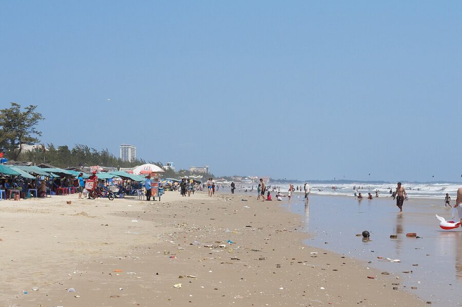
The coast is the easiest weather escape. Vũng Tàu, part of Ho Chi Minh City since 2025, is noticeably drier than the center, with 1,437 mm a year and almost no rain from January to March. Its April afternoons average 31.8°C, nearly three degrees cooler than the city’s.

A wet afternoon in the city
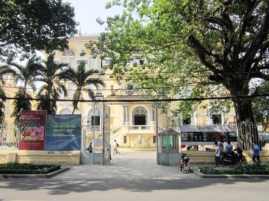
When the storm hits, you want a roof and something to look at. Bến Thành Market is the obvious bolt-hole in the center, though it is not storm-proof: heavy rain on 23 September 2026 flooded part of the hall. Five minutes’ walk away, the Fine Art Museum of Ho Chi Minh City fills an afternoon in three old mansions, and the malls and covered arcades in the shopping overview are air-conditioned and dry.



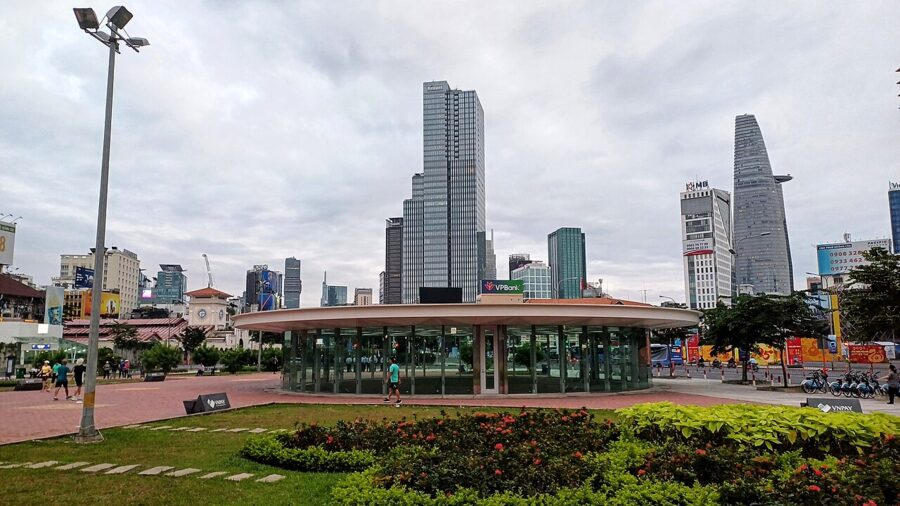
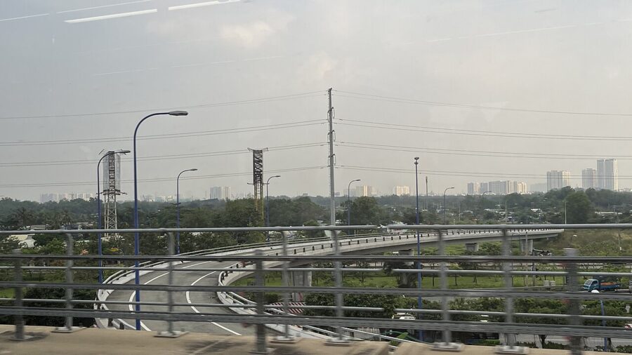
Metro Line 1, open since December 2024, is the one way across town that ignores the weather. It runs underground through Bến Thành, the Opera House and Ba Son, then on a viaduct out to Suối Tiên, high above any flooded street.


What to pack
Light, loose cotton or linen, and more changes of shirt than you think. A thin long-sleeved layer does double duty: sun cover at noon and a buffer against the fierce air-conditioning in buses, malls and museums. Temples and pagodas expect shoulders and knees covered whatever the temperature; the dos and don’ts cover the rest of the etiquette.
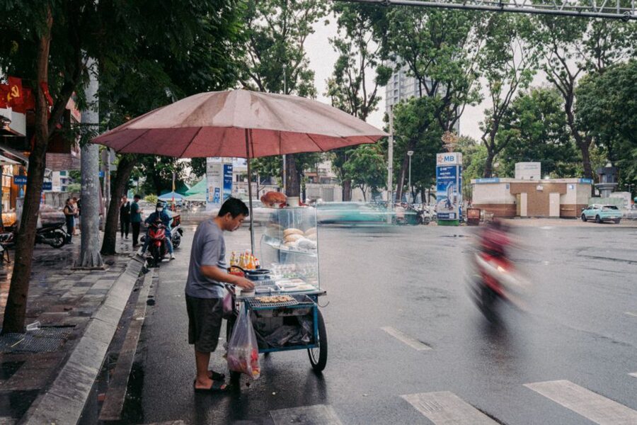
For rain, sandals or quick-drying shoes with grip beat sneakers, which stay wet for days in the humidity. A poncho is better than an umbrella on a motorbike, and convenience stores and street vendors sell them all over the city. Add strong sunscreen, a hat and sunglasses for any month; the sun is high all year at this latitude.
If the trip includes Hanoi, Sa Pa or Đà Lạt between December and March, bring a real jacket. Before any autumn trip to the central coast, check the storm bulletins of the National Center for Hydro-Meteorological Forecasting.
And in Saigon itself, from May to November, keep one habit: look up at about two o’clock. If the sky has turned dark, you have half an hour to get under a roof, and the coffee will be better than the walk.